Mindfulness is a lifetime’s journey along a path that ultimately leads nowhere – only to who you are
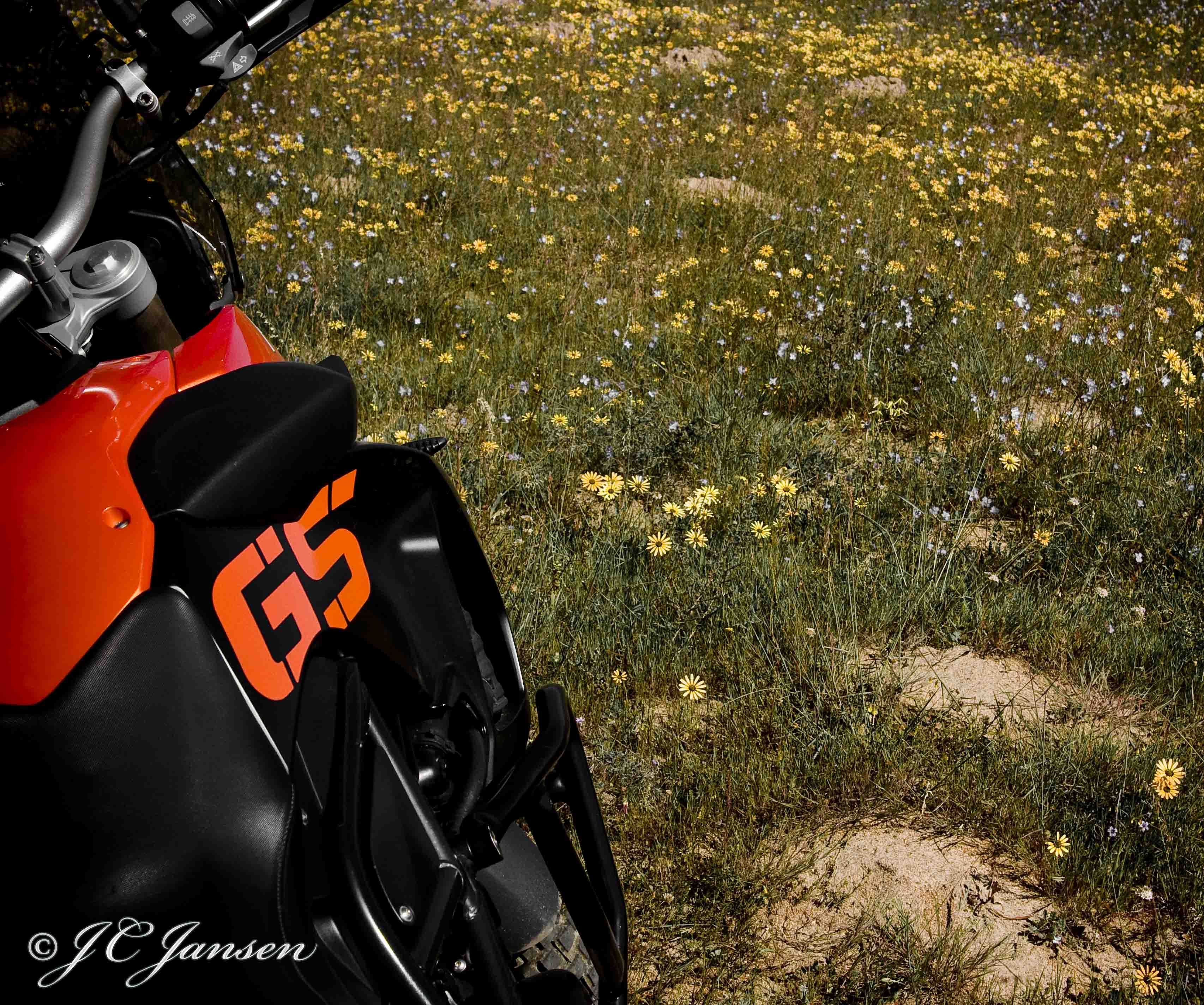
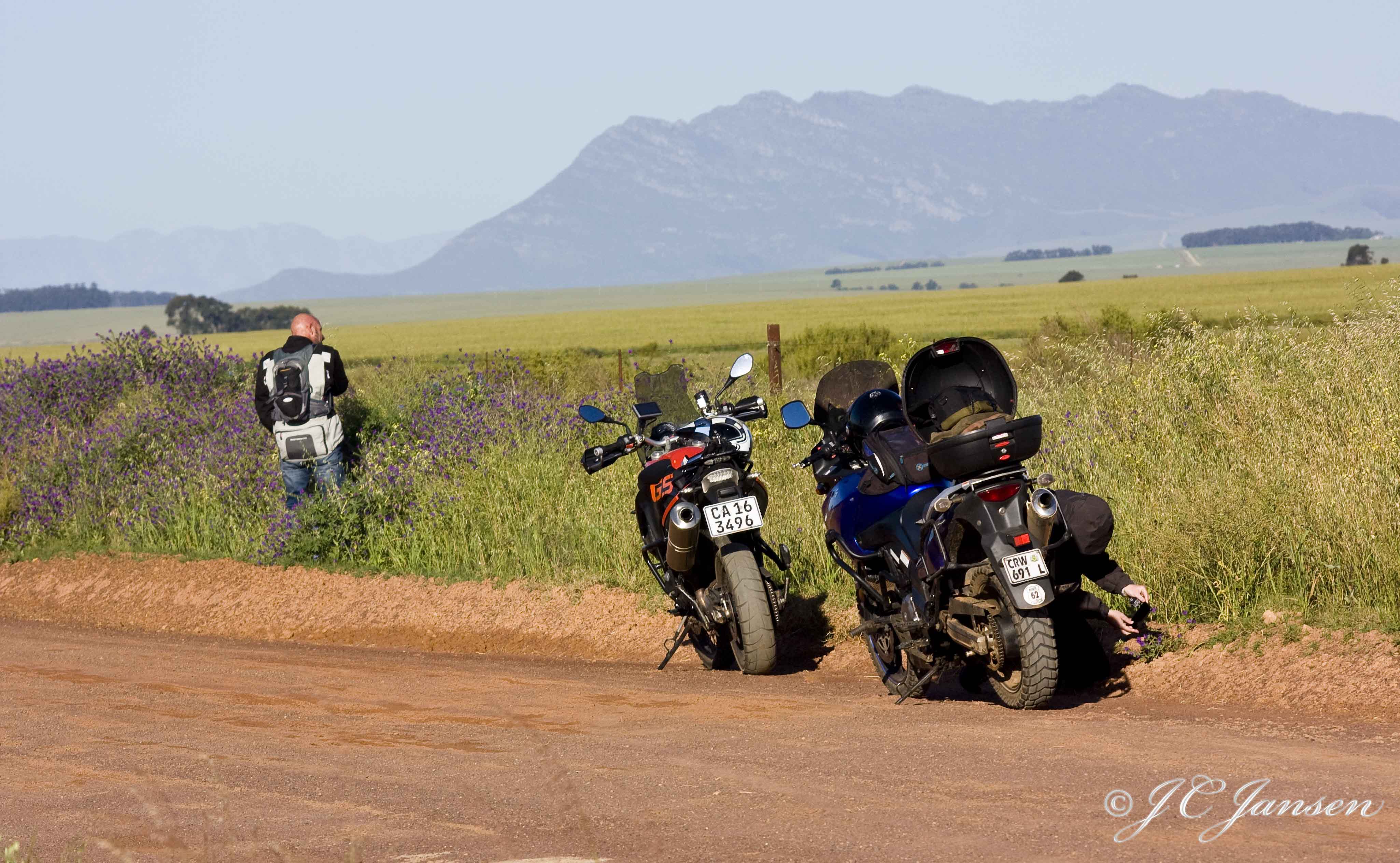
We parked the bikes at the parking area where one turns off Kloofnek Road to drive up to Table Mountain. Our only plan for the hike was to ascend Table Mountain from the Atlantic side, which meant that we had to follow the Pipe track until we found the first route up. This narrow but easy path below the Twelve Apostles was initially a maintenance path for the water pipes coming off the dams on top of Table Mountain. As the routes on this side of the mountain are exposed to the Western sun, it can become quite hot in summer. We were lucky that it was about 20ºC and partly cloudy which made for perfect hiking conditions.
The first route up from the Pipe track is Diagonal, after Blinkwater Ravine became too dangerous and was closed down.
The Diagonal starts from the Pipe track, and zigzag’s about half way to the top, with spectacular views to Camps Bay, Lions Head and the back of Table Mountain.
Soon we reached Porcupine Cave. Although it’s not a cave, but actually an overhang, it makes for a great stop to take a break. Here we stopped for a snack break: apples, bananas and the obligatory trail mix, mixed with the amazing views towards Camps Bay. It’s when you sit at a spot like this with the silence surrounding you, that one realises how blessed we are to live in this awesome city. We have the ocean and the mountains and it allows us to connect with Mother Nature within hiking distance from our doorstep.
As we headed around the face, we followed the river course up Porcupine Ravine, which makes for an easy climb. We initially thought of following the river course all the way up, but we were not sure if there was a path to follow… Halfway up, we found the path

leading towards Barrier Ravine, marked out with rock cairns, an easy route marker for the Table Mountain paths. Some of these cairns were even stacked in small, low growing trees. I am always amazed at how the flora changes from lush, small trees & fynbos in the ravines, to small, low growing fynbos in the higher altitudes, where they are more suited to the high winds.
Leading past the buttress, the path heads up into Barrier Ravine. This route must be one of the most scenic routes we’ve hiked to date, with indigenous trees, fynbos, and the occasional small stream. Around every corner, mother nature just gave another splendid show. Unfortunately we did not check the battery on our camera before we left, and soon the battery died. After our camera was no longer an option, the cell phone became the camera of choice.

The Diagonal route crosses three buttresses (Porcupine, Jubilee and Barrier) and across two ravines where the ascend ends in the Barrier ravine. As we ascended to the top of the mountain, the blowing wind was icy cold, and we quickly had to layer ourselves. Lucky for us we packed the second backpack with our warm hiking clothes, gloves and beanies.
From here to Platteklip Gorge is possibly another two hours hiking. We found some protection from the wind behind a huge rock where we ate some of the nuts, with views towards the Atlantic. As we headed into the direction of the Valley of the Red Gods, one can see the Mountain club huts and views to the South across False Bay, with the peninsula snaking towards Cape Point. This valley is spectacular with trees, boulders, massive ferns and to our amazement, we found an underground river; as we were walking on the path, we heard water dripping to our right. Behind some trees we found a cave with a tunnel that goes underground at one end. With the torch of our cell phones we carefully entered this tunnel, which runs about three meters underground, and then it abruptly ends, with the water running underneath the ground. One can clearly see where the high water mark was not so long ago with all the rains we’ve had. It’s a beautiful piece of nature and again makes one realises that Table Mountain is not flat on top at all. It’s only when viewed from the front that the mountain appears to be flat.
We continued through the valley until we reached the cross-road

where you can turn right towards Kasteels Poort and down again to the Pipe track, or left towards Platteklip Gorge. In the distance we could see the sets of ladders we still had to climb and cross the last bit to reach the front of the mountain. Christoff wanted to hike to the front of the mountain as he hasn’t been up there for at least 10 years.
After we took the route up from the Pipe track we encountered no other people. I did see some fresh footprints in some of the sandy areas and commented on these. Christoff asked me if I knew when they were made, and I said no. I was waiting for some clever analysis of the footprint, when he responded: “Earlier today, because it’s now late afternoon”. Always the joker…..
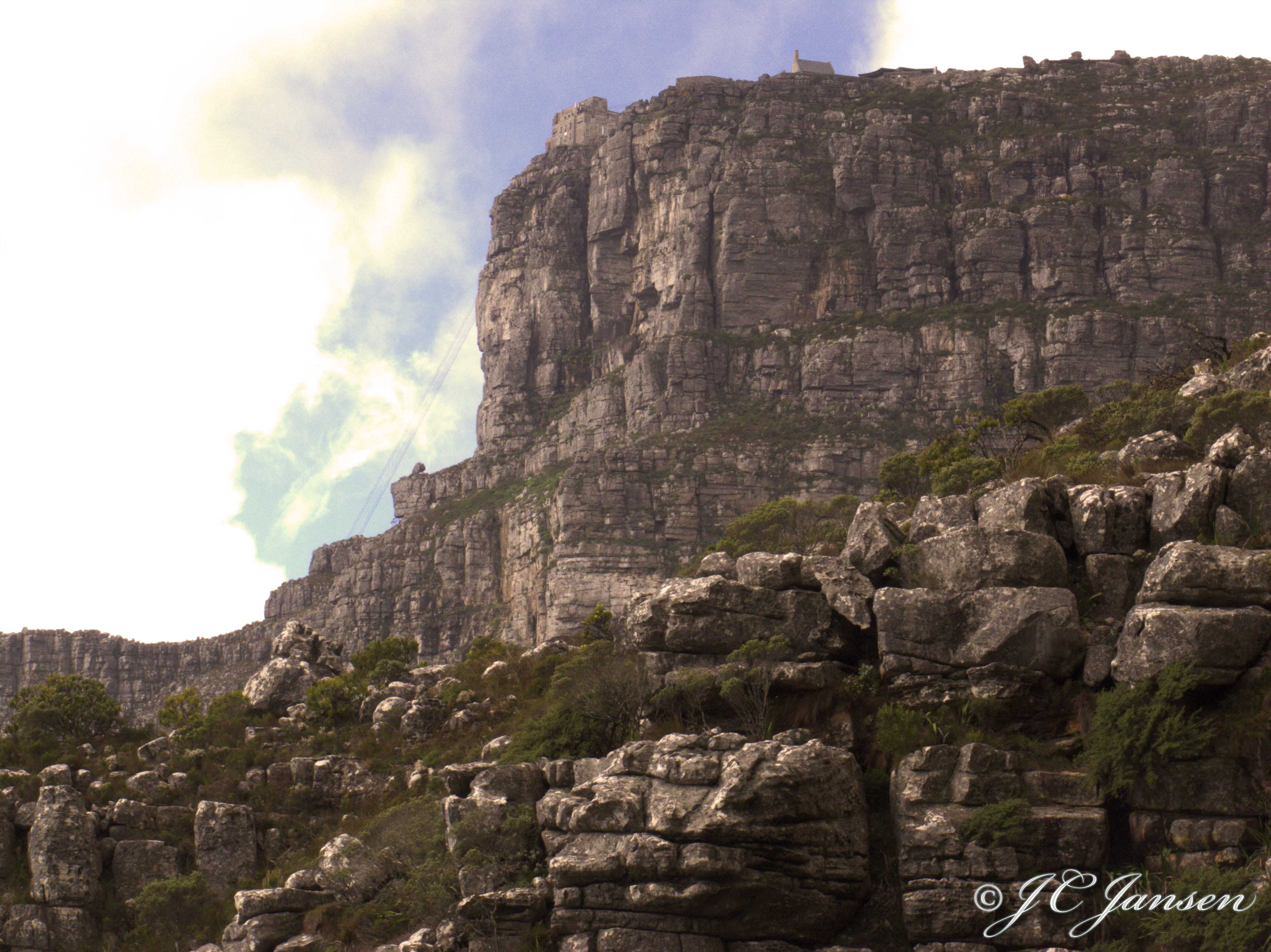
When we got to the top end of Platteklip Gorge, I commented on the fact that it was so quiet. We continued to the front of the mountain and admired the views, but the wind was biting cold. As it was getting close to 18:00, we considered taking the cable car down. After 18:00 it’s normally half price and both of us have Wildcards. Still there were no other people around, which was very noticeable, as normally there would be loads of tourists around.

It was the first time that I experienced this in all the time that I’ve been on top of the mountain. We started suspecting that the cable car might actually be closed. As we got to the station, this was confirmed by locked doors and packed away equipment, even though the sign said last car down was 19:00. This gave us great photo opportunities on top of the mountain with no-one around, which was quite eerie. At least the movement down below in town confirmed that the world did not actually end…
With the cable car closed, there was no other option for us than to hike down. Myself not being a fan of Platteklip Gorge as a route, we decided to do India Venster which is not a route for novices… there is even a sign saying “This is not an easy way down”.

The first section has sheer cliffs on the left of the path, with awesome views to the Atlantic. By the time we got to the front where the path meets the route up from Kloof Corner, it was 18:17 already with the sun setting at 18:46, which meant that we would have to be more careful going down once the sun set. It is said to be more technical than other routes, and what makes it great is that it’s not just walking on a path, or climbing steps, as some places you have to climb down rocks. There is even a section with metal rings and chains in the rock where it’s quite steep.
With the setting sun to our left, silhouetting Lions Head, it was the cherry on top of an already perfect day. With my hiking companion doing his normal jumps down rocks and me scrambling to keep up, we eventually got down to the parking area at the lower cable station in the dark. We just missed the last shuttle bus down to the bottom parking lot and with no other option left but to walk down all the way down to our parked bikes, we were rather looking forward to a cold beer and a hot shower. We ended the day with burgers and beers at the Royal Eatery on Long Street.
All in all a fantastic hike, one we will most certainly do again. You have to have some level of fitness for this route as there is a lot of climbing going up Diagonal, but once you’re on top it’s easy hiking. Coming down India Venster you would need to be a bit more fit and agile and also have no fear of heights.